
|
| UNITED KINGDOM OF GREAT BRITAIN AND NORTHERN IRELAND |
Clickable map of the United Kingdom of Great Britain and Northern Ireland. Navigate using the map or use the list of all locations below.

|
|
| England | ^ top ^ |
 Brighton ... 1621, 1622
 Bristol ... 3900
 Clacton-on-Sea ... 2085
 Cleethorpes ... 2678
 Exeter ... 2420
 Great Yarmouth ... 2008
 LONDON ... 2488, 3007, 3077
 Maidenhead ... 2084
 Newcastle upon Tyne ... 2472
 Scarborough ... 2636
 South Shields ... 4396
| Northern Ireland | ^ top ^ |
Clickable map of Northern Ireland. Navigate using the map or use the list of all locations below.

 Larne ... 2550
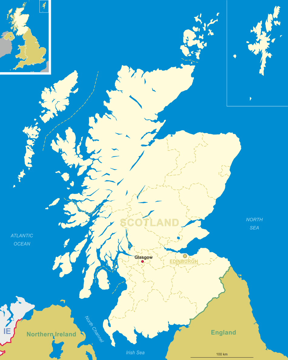
| Scotland | ^ top ^ |
Clickable map of Scotland. Navigate using the map or use the list of all locations below.

 Glasgow (Glaschú) ... 1653
| Wales | ^ top ^ |
Clickable map of Wales. Navigate using the map or use the list of all locations below.

 Aberystwyth ... 3070, 3071
 Porthcawl ... 3502