
|
| ESPAÑA | Spain |
| Galicia | |
| Provincia de Ourense |

 Verín is situated at an elevation of 360 m in the southeast of the the province of Ourense, in the autonomous
community of Galicia, Spain, about 58 km southeast of Ourense and about 138 km southeast of Galicia's capital,
Santiago de Compostela. Verín is the administrative seatof a municipality with about 13,600 (2022).
The town is located about 9 km north of the Portuguese border and is an important stop on the Camino de Santiago Sanabrés
pilgrimage route. Today the place is known for its mineral springs Fontenova, Sousas and Cabreiroá.
The oldest known traces of humans inhabiting the area date from the Neolithic period. Many place names in the area derive from the Celtic period. The earliest documents mentioning Verin date from the 9th and 10th century. After the abolition of the feudal system in the first third of the 19th century, two municipal districts were created: Verín and Mandín, both of which belonged to the district of Monterrei and which merged in 1836 to form the current Verín. The predominantly Galician-speaking community includes the parroquias (parish communities) Ábedes, Cabreiroá, Feces de Abaixo, Feces de Cima, Mandín, Mourazos, Pazos, Queirugás, Queizás, A Rasela, Tamagos, Tamaguelos, Tintores und Vilamaior do Val.
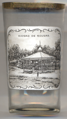
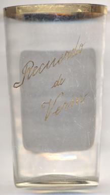
Glass no. 4643 [left] shows a view of the
 kiosk
kiosk
[https://de.wikipedia.org/wiki/Ver%C3%ADn, https://en.wikipedia.org/wiki/Ver%C3%ADn;
https://blog.turismo.gal/springs-of-verin/]
![[scale]](lineal.jpg)